 |
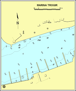
43o
30,8´N
16o 15,2´E |
South
Adriatic - Trogir Channel
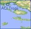
HR- 21220
TROGIR
Tel.:+385 21 881-544
Fax.:+385 21 881-258
VHF Channel 17
Other
Marinas:
|

| General
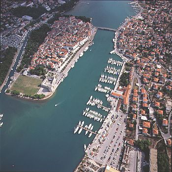
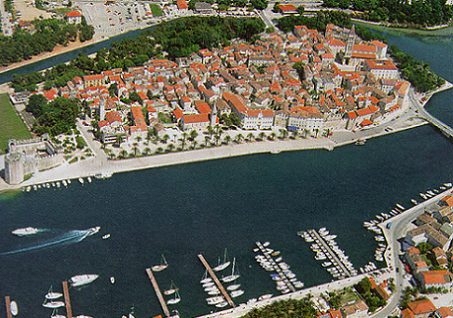
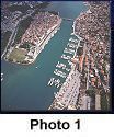
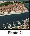
remarks: The town of Trogir is situated on an island
between the mainland and Čiovo Island. In the channel north of the town the sea is only 2
m deep, and going further it becomes even shallower (1 m). Over this channel the town is
connected with the mainland by a solid bridge, while with Čiovo Island, where the ACI
marina is situated, it is connected by a bascule-bridge (2.40 m high) which does not open
anymore. |
|
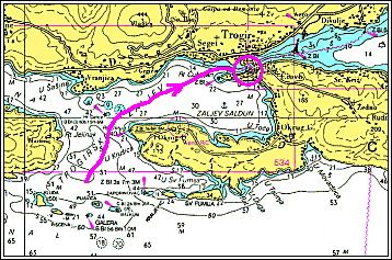
| For boats that cannot pass under the bascule-bridge,
approach to the port is possible from the west, between Čiovo Island and Čelice reef. A
good landmark is the green lighthouse on Cape Čubrijan (Fl G 2s 8m 4M), which can be used
as a way point as well (43°30,7' N 16°14,6' E). For those approaching from the east the
way is marked with red and green marks. Sea depth in the passage under the bridge is 4.5
m. |
|
Map |
 |
|